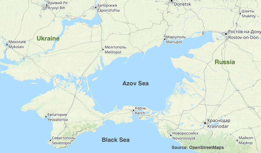
Odessa, Ukraine – November 6, 2019 The Russian Federation illegally implemented marine electronic navigation charts (ENCs) on the territory of Ukraine, thereby creating a threat to navigation in the Black and Azov Seas. Russian maps on the territory of Ukraine began to be produced and sold on the international market as early as in 2008-2012. The…
Subscribe or log in to continue reading
PortSEurope offers an English-language daily coverage from over 200 ports in the Mediterranean, Black and Caspian Seas as well as a fully indexed and easily searchable database with more than 15,000 articles.

